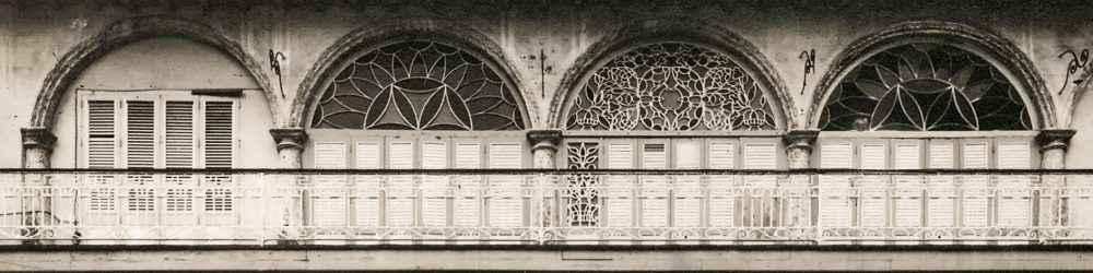
Eusebio Leal Spengler, the Havana City Historian and Director of the Office of the Historian, commissioned the Cuban Institute of Geodesy and Cartography to make a photographic survey of 1055 buildings in the Historic City Center of Havana in the 1980’s. The Geodesy and Cartography photographic survey archive of the 1055 buildings contains 4722 glass-plate negatives and film negatives in 5 x 7” format.
In the spring of 2012, with the support of a grant from the Graham Foundation for Advanced Studies in the Fine Arts, we began digitizing, and cataloging the 1980s archival materials. Alina González Viera, specialist with Plan Maestro completed the scanning of the negatives in May 2014. We discovered approximately 4722 photographic positives with engineering and architectural notations within the archive.
Historical maps, etchings, vintage photographs, design drawings, architectural plans, and vintage post cards dating from 1576 to 1990’s are being digitally archived by Plan Maestro. Below are a few examples of historical maps that may be useful when viewing the photographs.
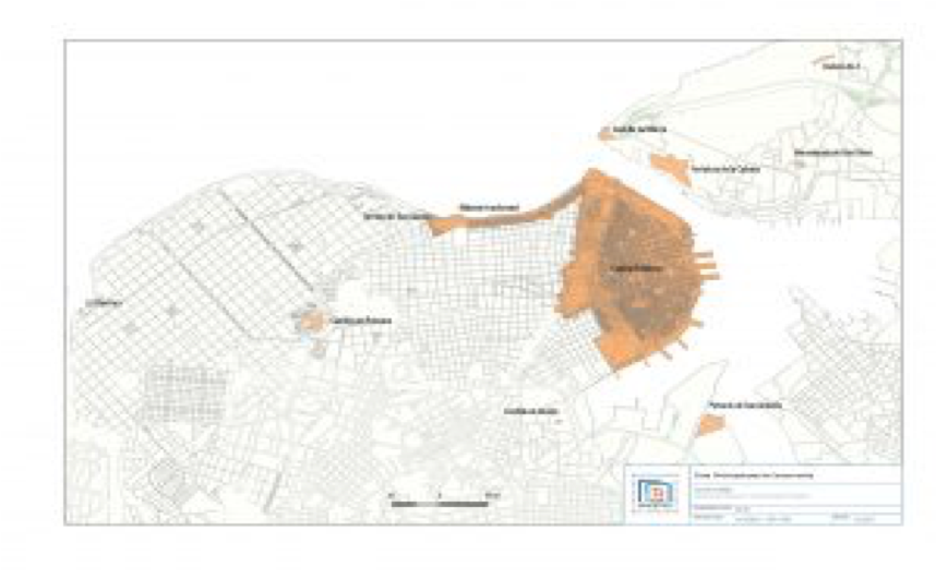
PRIORITIZED HISTORIC ZONE FOR CONSERVATION
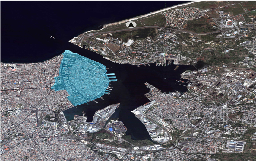
BOUNDARY OF THE WORLD HERITAGE PROPERTY
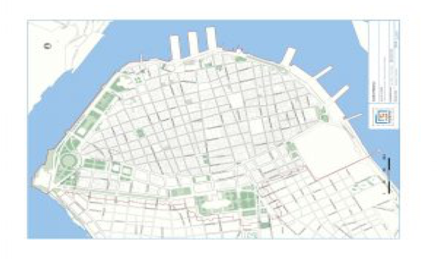
OLD HAVANA HISTORIC CENTER